
Give it the end points and NexXora’s autonomous drone flies the route on its own — mapping, tagging and returning data that is already tied to coordinates. Indoors down a warehouse aisle, out across a field, or around a structure that would otherwise need scaffolding and a rope team. One airframe, one operator workflow, four very different jobs.
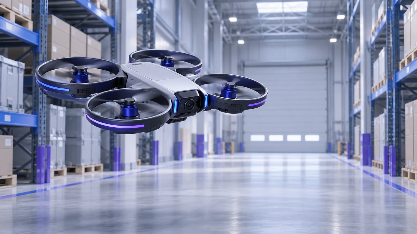
Configure the end points and the aircraft flies the route autonomously, building a geo-referenced map and tagging each feature it has been asked to record. What comes back is survey data bound to coordinates — not hours of footage somebody has to sit and watch. Fly the same route again next quarter and the two datasets line up.
Once a warehouse is mapped, the drone counts and tracks stock by itself — aisle by aisle, rack by rack, on whatever schedule you set. It reconciles what is physically on the shelf against what the system believes is there, and it does it without closing the floor, hiring a counting crew or putting anyone on a lift.
Define the boundary and the end points, and the aircraft runs the operation across the crop on its own. It is the same autonomy stack as the survey work, pointed at a field instead of a building — which is why the flight plan, the coverage record and the evidence of what was actually treated all come back in the same form.
Nuclear plant, bridge, cooling tower, process stack, transmission structure — the assets where an inspection means shutting something down or sending a person somewhere they should not have to go. The drone flies a repeatable path and returns close-range, position-tagged imagery of the structure, so one survey can be compared against the last rather than judged on its own.